The forgotten ones (Bern)
Here another forgotten hikes post. This time in Bern!
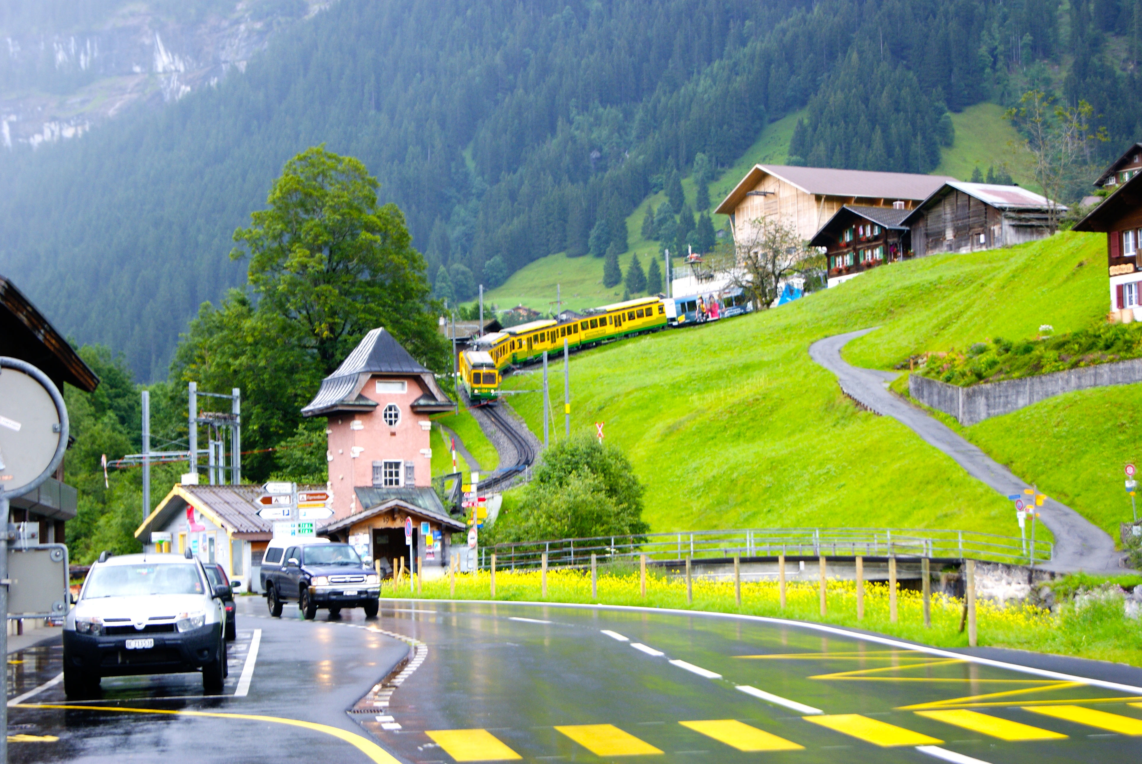
Eigertrail, Grindelwald
- Start point: Alpiglen station, Grindelwald, 1615m
- Destination: Eigergletcher station, 2362m
- Distance: ~6 km loop
- Elevation gain: ~790 m
- Time: ~2h (one way)
- Difficulty: Moderate

The Eigertrail is a very famous trail and the Eiger is probably the most famous mountain in the Alps after Mont Blanc. The book "The White Spider" by Heirich Harrer, the same author of "Seven years in Tibet", tells the story of the first ascent of the north face of this iconic mountain in 1938. The Eigertrail runs just below that north face from the train station Alpiglen (1615m) to the station Eigergletcher 2362m. You can walk it also from Grindelwald that about doubles the trail lenght or take the train (that is a very Swiss thing) to Alpiglen and start from there as we did. The trail goes mostly on rocky and gravel terrain and takes 6km and 790m of elevation. Doable in about 2h. From there we took the train back but another option is to take the cable car they built since we went that brings you to Grindelwald faster. Or if you have time (and money) Eigergletcher is the station where the train goes inside the Eiger and crosses it all the way to Jungfraujoch 3400m the highest station in Europe!


Stockhorn (2170m), Erlenbach im Simmental
- Start point: Chrindi, Erlenbach im Simmental, 1640m
- Destination: Stockhorn, 2170m
- Distance: ~7 km loop
- Elevation gain: ~600 m
- Time: ~2h (one way)
- Difficulty: Moderate

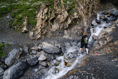
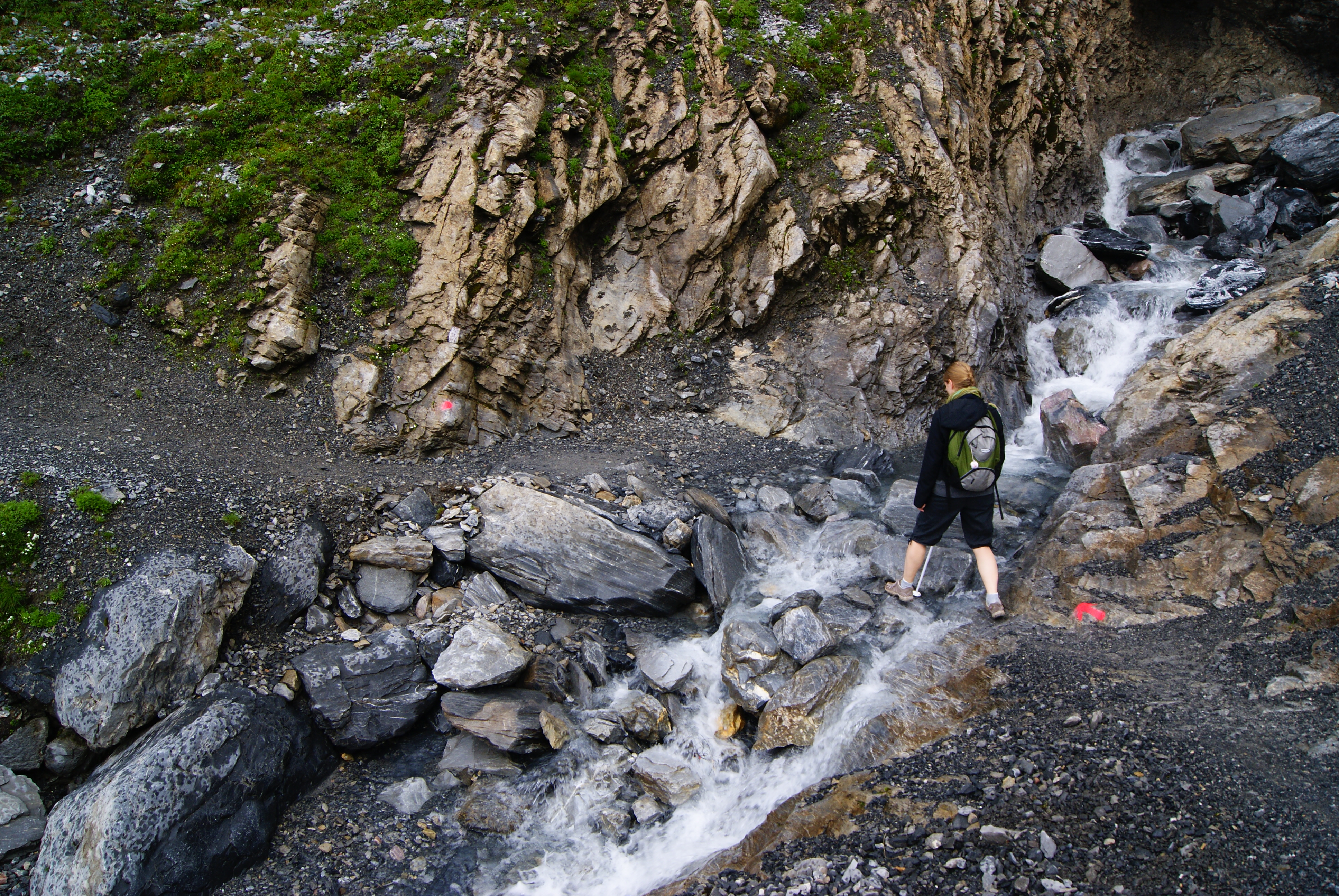
The starting point of this hike is "Chrindi", 1640m, the mid-station of the cabin you can take in Erlenbach im Simmental, near Spiez. The upper station is at Stockhorn so you can also visit it without hiking or you can hike it only one way and take the lift back. You can do it in several ways. We took the option of going slightly down to the alpine lake on the other side of the Chrindi pass. It was very cool when we went as it was May and some ice and snow formation where still there and made strange shapes. After going around the lake you start to climb the slope. You'll find the Oberstickenalp hut midway and then turn onto the ridge and continue to the top. It is 3.6km and 600m so fairly steep. It can be done in around 1h30 but most people would probably take 2h.


Ochienensee, Kandersteg
- Start point: Top of Kandersteg lift, 1700m
- Destination: Oberbärgli hut, 2000m
- Distance: ~9 km loop
- Elevation gain: ~500 m
- Time: ~2h (one way)
- Difficulty: Easy, just a bit long

Oechinensee is a very scenic lake, nested into high vertical walls. To get there you can take the chairlift in Kandersteg that will bring you to 1700m. From there an easy half an hour and 100m downhill hike will bring you to the lake where you will find 2 huts and a beach. But the best part is yet to come. On the left on the lake in fact a path brings you over rocky ledges to the other side of the lake. It is very scenic! This is also part of the Via Alpina the trail that crosses the Alps east to west. You can then continue on a grassy slope to the Oberbärgli hut at just about 2000m. Overall it takes 500m up and about 9km return to complete this hike which is doable in 3 to 4h including many pictures. One option is also to come back from the upper path that is more challenging but offers even better views. I sure plan to go back to do it!


- Start point: Top of Trilft lift, 1400m
- Destination: Trilft bridge, 1740m
- Distance: ~5 km loop
- Elevation gain: ~400 m
- Time: ~2h (return)
- Difficulty: Easy


- Start point: Wispile, 1900m
- Destination: Lauenen, 1200m
- Distance: ~5 km loop
- Elevation gain: - 700 m
- Time: ~2h (+ bus ride)
- Difficulty: Easy


Comments
Post a Comment