Bisses du Valais
The "bisses" are old aquaducts that used to bring water to the villages. There are several in Valais that have been transformed into walking paths. Each has its own peculiarity but in general they have in common that, since they follow the aqusduct path, they have a gentle incline, perfect for families. And of course you hear the gurgling of water all the way which is relaxing. In this website you find information on all of them.
Bisse du Trient, Trient (Near Martigny)
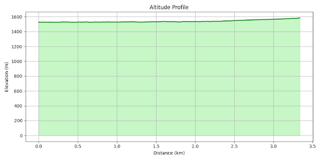
- Start point: Col de la Forclaz, 1526m
- Destination: Chalet du Glacier, 1590m
- Highest point: Destination
- Distance: ~3.3 km one way
- Elevation gain: ~60 m
- Time: ~1h one way
- Difficulty: Easy
Bisse du Trient is the gentler we have done, really perfect for families. You start in Col de la Forclaz above Martigny and the path is almost flat. In one hour you arrive at Chalet du Glacier, where you can stop for icecream. Below the Chalet there is also a wooden bridge on the river that gives you a beautiful view of the valley and the Glacier du Trient in front.
Bisse du Torrent Neuf, Savièse
- Start point: Parking above Savièse, 1100m
- Destination: Buvette du Brac, 1200m
- Highest point: 1260m
- Distance: ~4.5 km one way
- Elevation gain: ~300 m
- Time: ~1h one way
- Difficulty: Easy
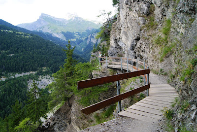
Bisse du Torrent Neuf wins as the most peculiar and historical. After an initial part in the forest it becomes more interesting and involves :
- Several suspended bridges
- Sections perched on the cliff (and along the way they show you pictures of how they built it that look very vertiginous)
- Galleries
- Historical representations
Bisesses Tsittoret, Crans Montana
- Start point: Parking above Montana, near Resturant Le Cervin, 1650m
- Destination: La Tièche, 1950m
- Highest point: Destination
- Distance: ~7 km one way
- Elevation gain: ~300 m
- Time: ~1h30 one way
- Difficulty: Easy
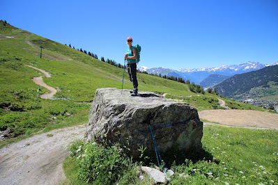
Bisse du Tsittoret is a panormaic one. I don't remember much except that it does up via pastures and forest and everything is very green! It is also a fairly long one and it ends in a valley where you can see the water collector that starts the bisse. This one is also a long one, 14 km return and about 300m uphill and has no chalet at the end so bring some picnic!
Bisse du Levron, Verbier
- Start point: Les Ruinettes, 2170m
- Destination: Verbier, 1540m
- Highest point: Strating point
- Distance: ~12 km
- Elevation gain: +100 / -800 m
- Time: ~3h
- Difficulty: Easy
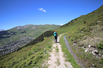
Bisse du Levron is also a panoramic one. It starts in Ruinettes the cable car station above Verbier. It is all downhill, mostly through pastures, and differently from the others described in this page you do not go back the same way but you can descend all the way to Verbier. The highlight is the end of the bisse that ends in a waterfall going off a cliff with a fantastic viewpoint.


Comments
Post a Comment