Aguilles de Baulme

🗺️ Overview
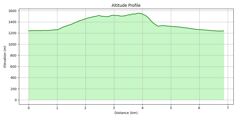
Starting point: La Gittaz Dessous, 1250 m
Highest point: Aiguilles de Baulmes, 1560 m
Distance: ~6.5 km
Elevation gain: ~350 m
Duration: ~3 to 3.5 hours
Difficulty: Moderate (steep sections, narrow paths)
Family-friendly: Yes, with caution (Cave Noire detour is short but exposed)
This hike offers a taste of adventure, quiet Jura forest trails, and wide views over the lakes — all just above Saint-Croix. It includes a steep ascent to a ridge, an optional detour to the Cave Noire, and ends at the dramatic summit of the Aiguilles de Baulmes, a jagged crest with stunning cliff views.
The Trail
The hike begins at La Gittaz Dessous (1250 m), accessible via a small road from behind Saint-Croix. There’s a small parking area at the village, but the better option is to continue a little further — follow the left fork at the signposts instead of going to La Gittaz Dessus. You’ll find a larger and shadier parking area slightly up the road.

From the parking, a gravel road leads gently toward the mountains. After a few minutes, it splits — take the right-hand fork to continue.
After 15–20 minutes, a panel indicates a right-hand trail up to Cave Noire. And here… it gets steep! The first part is very vertical, though it eases slightly higher up. The trail remains narrow and rugged, climbing steadily through the forest.


Detour to Cave Noire (Optional but Fun)
From the ridge, continue right. After 5 minutes, you’ll reach a rocky passage with a small sign indicating Cave Noire. The cave lies on the far side of the cliff, reachable by a short, adventurous trail.
⚠️ Caution: The detour is exposed and narrow — but manageable with care. I manages with a 4-year-old in any case. The cave itself is small but fascinating, and the detour adds just 10 minutes.


Along the Ridge to Aiguilles de Baulmes
Back on the main trail, continue along the forest ridge. The trees thin out at times, revealing beautiful views over the lakes and the plateau below. The trail rolls up and down and winds in and out of the forest. Just when you think you've reached the top… it continues a bit more!


From the point you reach the ridge, it takes around 40 minutes to reach the summit of Aiguilles de Baulmes (1560 m) — a craggy limestone peak with wide-open views and dramatic cliffs on the northern side.


Descent to Col de l’Aiguillon
The quickest descent is directly from the summit to the Col de l’Aiguillon. The path is steep and can be tough on the knees but only takes about 25 minutes.
If you parked in the shadier parking (the one recommended earlier), there’s also a shortcut path just before the asphalt road that cuts off 500 meters of walking under the sun — a nice bonus!


Comments
Post a Comment